


CHM-era - Photogrammetric Canopy Height Models to Enhance forest Resource Assessments
This project funded by Labex ARBRE is a binational project associating UQAM (Québec), INRA (BEF), and ONF (R&D Nancy), and started early 2017.
Website: mycor.nancy.inra.fr/ARBRE/CHM-era
Its goal is to test the capabilities of photogrammetry to replace ALS (Airborne Laser Scanning) for assessing and mapping forest attributes over large areas. The main objective is to set up a processing chain to extract forest parameters from photogrammetric means with emphasis on the quality of the outcomes.
The project is conducted in three stages:
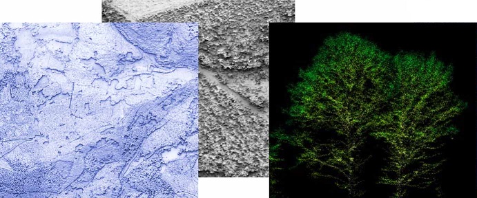
– optimization of the generation of photogrammetric point clouds over forest canopies,
– development of forest variable models,
– evaluation of the capacity to study forest dynamics using aerial image time series.
These analyses will be carried out on several geographical sites and will make use of existing data (ALS-based digital terrain model and aerial images from NGI).
This project is expected to pave the way for operational mapping forest variables to support and optimize forest inventories, elaborating forest management practices, and providing knowledge about local growth dynamics of forest stands, which is crucial for understanding how forest covers are impacted by rapid global changes.
The project is bringing together specialists of 3D remote sensing of forest, including both ALS and photogrammetry, forest managers and modellers.


